Global climate change is altering ocean conditions, such as temperature, and driving fluctuations in marine environments across seasons to decades, which may impact ecosystem productivity and fisheries. These fluctuations have been reported in the Salish Sea, a biodiverse region that spans Canadian and American waters, supporting dozens of fisheries and vibrant coastal economies. However, gaps in historical measurements prevent researchers from having a clear picture of the seasonal and spatial aspects of these environmental changes.
Greig Oldford, PhD Candidate at the University of British Columbia’s Institute for the Oceans and Fisheries (IOF) and a scientist with Fisheries and Oceans Canada, recently co-developed The Hindcast of the Salish Sea (HOTSSea) to address these gaps in historical observations. Greig is part of the Global Ocean Modeling group at IOF and collaborated on HOTSSea with researchers from the UBC, Fisheries and Oceans Canada, and the University of East Anglia to understand how environmental conditions have changed in the Salish Sea.
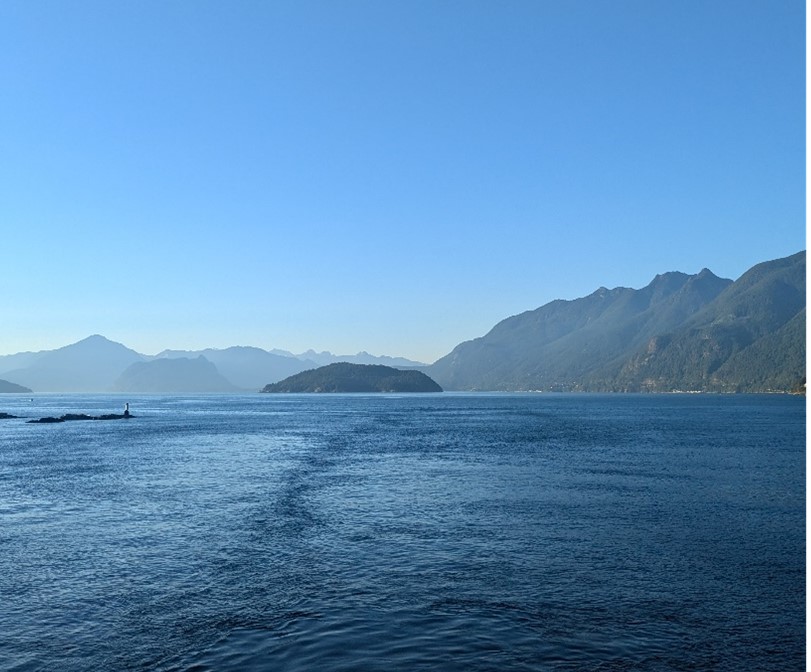
“The Strait of Georgia in the Salish Sea” Photo credit: Megan Duchesne
What is a hindcast?
GO: An ocean hindcast is a computer simulation that reconstructs past ocean conditions. Our HOTSSea model includes physical ocean properties (like tides, temperature, and salinity) in three dimensions. This hindcast extends back to 1980, updating the physical fields every few seconds or minutes – so it generated a lot of data! In addition to needing a lot of storage, ocean hindcasts like HOTSSea require a lot of computing power. So, we had to run it on a supercomputer. Like other hindcasts, HOTSSea was calibrated and evaluated using a large dataset of observations collected over decades by many research groups and institutions. Here, those institutions included UBC, Hakai Institute, the Pacific Salmon Foundation, and Fisheries and Oceans Canada.
How is hindcasting used to study the Salish Sea?
GO: Physical ocean properties from HOTSSea help directly answer questions like what has changed over time and how substantial the changes have been. The model results help direct our research efforts into how long-term environmental and ecological change impacts fisheries. HOTSSea works particularly well at recreating observed ocean temperature trends, including anomalies, in the Strait of Georgia. Its ability to detect environmental trends over weeks to decades and across tens of kilometres is especially valuable for ecological studies focused on Pacific salmon, herring, and plankton. So, the HOTSSea model outputs are especially helpful for researchers who need this information to investigate how changing ocean conditions might affect prey availability for migrating juvenile salmon or their vulnerability to disease and predation.

“Map of model domain showing geographic features, extents of the HOTSSea NEMO model domain (medium grey), and bathymetry.” Map credit: Greig Oldford et al.
What did the HOTSSea hindcast reveal?
GO: HOTSSea is the first 3D hindcast simulating conditions for the area on the scale of kilometres as far back as 1980 and it indicates that the water of the Salish Sea has been warming extremely quickly – much faster than the nearby open ocean. This is not just the surface water, but the entire water column up to 400 meters deep. This is consistent with previous studies which used relatively limited data from measurements. However, HOTSSea fills in the gaps and reveals that some areas, seasons, and depths within the Salish Sea may be warming faster than others. We did not previously realise the spatial and seasonal variability of the ocean temperature trends. For example, the surface waters of the northern Strait of Georgia seem to be experiencing particularly rapid warming in the autumn, when this region serves as a vital migration route for juvenile salmon.

“Coho Spawning on the Salmon River” by BLM Oregon & Washington is licensed under CC BY 2.0.
How can HOTSSea inform management in marine ecosystems?
GO: In many ways! For example, the HOTSSea outputs can be used in statistical models or ecosystem models to help evaluate whether trends in fish populations are primarily caused by environmental changes like increasing ocean temperature or other factors such as fishing, predation, pollution, disease, or habitat loss – or a combination of factors.
Where do we go from here?
GO: HOTSSea is part of a larger modelling effort underway at IOF in Prof. Villy Christensen’s Global Ocean Modeling research group, in collaboration with Fisheries and Oceans Canada and other partners. The aim is to tease apart the drivers of marine survival trends of juvenile salmon over a period of decades. I am hopeful that integrating physical oceanography and marine ecology using End-to-End (physics to fisheries) simulation models will shed light on how marine ecosystems function – and what we can expect in the future. This knowledge can help ensure we make wise resource management decisions, find win-win scenarios, and successfully mitigate impacts on our ocean ecosystems from climate change and other anthropogenic pressures.
Tags: British Columbia, climate change, ecosystems, Global Ocean Modelling, IOF students, ocean ecology, Salish Sea, Villy Christensen